About Apex Droneography

Apex Droneography LLC is a fully licensed drone company that serves both the Construction and Real Estate industries with aerial photography, videography, and photogrammetry.

We pride ourselves on schedule flexibility, a high quality product, and dealing professionally with our customers. We have a quick turnaround time ensuring that you get what you need, when you need it.

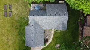
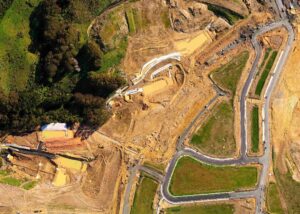
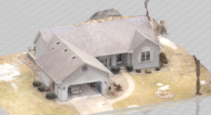
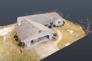
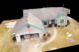
Construction Drone Services

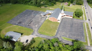
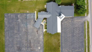
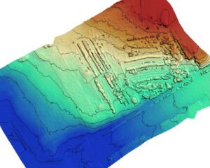
Apex offers multiple solutions to support the construction industry, ranging from 3D models and point clouds that can be used in BIM for clash detection to mapping and estimating for pre-construction managers that are just beginning to plan out their project.

Using photogrammetry software, we can quickly deliver overhead layouts of your site, models of pre-existing conditions or buildings, estimate cut and fill volumes, and provide contour maps showing the high and low spots on the site.

Orthorectified Maps

3D Models

Point Cloud Models

Accurately Measure Distances

Estimate Areas and Volumes

DTM and DEM Models

Benefits of Drones in Construction

One pilot can capture millions of points of data, rather than sending out a team of surveyors to gather a small fraction of that

Get accurate measurements from your computer

Maps and models from drones contain millions of points of data which can all be tracked back to GPS coordinates

With regular drone updates, BIM managers, surveyors and managers can see the progress of projects directly on their computer, to evaluate it and discuss it

Traditionally it would take about five days in the field with a scanner to get the same amount of data as a drone in one hour


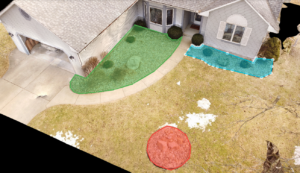
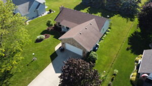
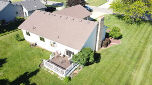
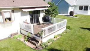
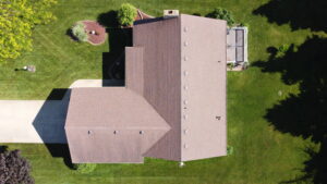
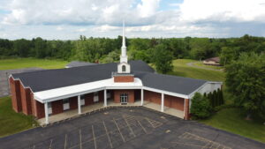
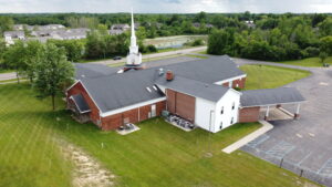
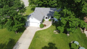
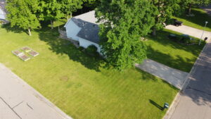
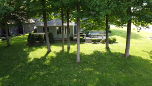
Real Estate Drone Services

Apex offers aerial photography and videography services to support the Real Estate market. Our competitive pricing ensures that your receive a top quality product at a reasonable value.

We have three flight packages to choose from ranging from just aerial photos, to a full highlight video with key features or selling points of the property. If one of those options don’t work for you, we would be happy to come up with a custom plan that fits your needs.

Up to 15 Still Images at 2560×1440 Resolution

Up to 8 Short Video Clips Recorded in 2.7K

One Feature Video Including Highlights, Branding, and Background Music

Customizable Plans to Suit All Your Needs

Drone Statistics for Real Estate

According to MLS statistics, homes with aerial images sold 68% faster than homes with standard images

83% of sellers prefer an agent who uses drones

Drone photography allows you to showcase the entire property, and all its exterior selling features

According to the Institute for Behavioral and Experimental Real Estate, online buyers spent 60 percent of their time looking at photos

The fine for hiring an unlicensed pilot can be up to $11,000 per occurrence


Have a question? Contact us here, or send us a message on Facebook or LinkedIn.